
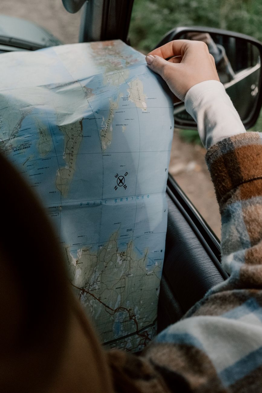
Most navigation advice for hikers falls into one of two unhelpful extremes: “just bring a paper map and compass and learn to use them properly,” which ignores that almost nobody actually navigates that way anymore, or “just use your phone,” which ignores that phones die, drop, crack, and occasionally decide to update themselves at the worst possible moment on a ridge in the fog.

The realistic answer for an ultralight kit is a layered system — one primary digital tool used well, a genuine backup that costs almost nothing in weight, and a power plan that keeps the primary tool alive for the length of your trip. This guide covers all three, without pretending you need a dedicated GPS unit, a satellite phone, and a full paper map set for every weekend trip.
If you haven’t already dialed in how you’re powering your devices in general, it’s worth reading our ultralight electronics and power setup guide alongside this one — navigation is one of the biggest single power draws in most hikers’ kits, so the two decisions are linked.
Your Primary Tool: A Phone With the Right App and Maps
Why your phone’s GPS works without cell signal
This is the detail that trips up a lot of new backpackers: your phone’s GPS chip uses satellite signals to determine location, which has nothing to do with cell phone towers or Wi-Fi. As long as you’ve downloaded the relevant maps in advance, your phone can show your exact position on a trail in the middle of nowhere with zero bars of signal and airplane mode switched on — which you should do anyway, both to save battery and because your phone stops burning power constantly searching for a signal that isn’t there.
Choosing an app
There isn’t one universally “best” app — it depends on what kind of hiking you do:
- Gaia GPS — strong general-purpose choice with a wide range of downloadable map layers (topo, satellite, land management overlays), popular with long-distance and off-trail hikers.
- CalTopo (with its mobile companion app) — the most powerful option for serious route planning, slope-angle shading, and printing custom paper maps, but with a steeper learning curve.
- FarOut (formerly Guthook) — built specifically around named long trails (PCT, AT, CDT, and many others), with crowd-sourced waypoints for water sources, campsites, and resupply points layered on the map — extremely useful if you’re on one of its supported trails, less useful off-trail.
- AllTrails — the easiest on-ramp for casual hikers and well-populated day-hike areas, with a large user-generated trail database, though less robust for remote or off-trail navigation.
- OsmAnd — free and open-source, built on OpenStreetMap data, a solid budget option if you don’t want a subscription.
Cost is worth factoring in too: most of these apps offer a usable free tier with basic offline maps, while advanced features (premium map layers, unlimited downloads, extended trip planning tools) sit behind an annual subscription, typically somewhere in the 30 to 60 dollar range depending on the app and tier. For most weekend and multi-day hikers, the free or lowest paid tier of any of these apps is genuinely sufficient — the premium layers matter more for off-trail route planning and long thru-hikes than for a standard weekend on maintained trail.
Pick one, learn its offline download workflow properly before you leave home, and actually test that the downloaded region opens correctly in airplane mode before you head out — this takes two minutes and prevents discovering a failed download twenty kilometers from the trailhead. Switching apps mid-season is annoying enough that it’s worth spending an evening comparing two or three candidates on a familiar local trail before committing to one for a big trip.
Downloading maps properly
- Download the map area for your entire route, plus a reasonable buffer around it, not just a tight box around the trail line — bail-out routes and unplanned detours happen.
- Do this over Wi-Fi at home, not cell data at the trailhead, both to save data and because trailhead signal is often weak exactly when you need the download to succeed.
- If your trip spans multiple map tile regions, download each one individually and verify it by opening the app in airplane mode before leaving.
- For multi-week trips, re-verify your downloaded maps are still present after any app update — some apps have been known to clear cached map tiles during updates.
Battery Strategy for Navigation
Your navigation app is only as reliable as your battery, and GPS with the screen on is one of the fastest ways to drain a phone in the backcountry.
- Use airplane mode with GPS/location services on. This is the single biggest power saver, since your phone stops searching for cell signal.
- Lower screen brightness and timeout, and check your position rather than leaving the map screen open continuously — glance-and-lock rather than navigate-with-the-screen-on.
- Carry a small power bank sized to your trip length, not a fixed default — a weekend trip and a ten-day resupply carry very different power math. Our electronics and power guide breaks down capacity-to-weight ratios in detail.
- Cold drains batteries fast. If you’re hiking in genuinely cold conditions, keep your phone in an inner jacket pocket rather than an outer pack pocket when you’re not actively checking it — see our cold-weather guide for more on managing gear in the cold generally.
- Put your phone in a low-power or battery-saver mode for the whole trip, not just when the battery gets low — most navigation apps function fine with background processes and non-essential features disabled.
Your Backup: What Actually Weighs Almost Nothing
This is the part most digital-only hikers skip, and it’s the part that matters most exactly when things go wrong — a cracked screen, a phone dropped in a stream, or a battery that dies faster than expected in the cold.
A genuine backup compass
A basic baseplate compass weighs around 10 to 30 grams depending on the model — genuinely negligible even on a strict ultralight kit. It doesn’t need a full sighting mirror or declination-adjustable housing for most trips, though those features help if you’re doing serious off-trail navigation. Pair it with basic bearing-taking skills (learned before your trip, not improvised during an emergency), and it becomes a real fallback rather than a psychological prop in your pocket.
A lightweight paper map, used correctly
You don’t need a bulky, laminated topographic map of your entire route as a backup — that defeats the point. A better ultralight approach:
- Print a simplified overview map on regular paper (or waterproof paper if you want extra durability) covering your whole route at a scale that fits one or two sheets, showing the trail line, key water sources, bail-out points, and road/trailhead access.
- Keep it in a dedicated pocket, not loose in your pack, so it’s genuinely accessible if your phone fails.
- Treat it as a “get to safety” backup, not a primary navigation tool — its job is to get you off the mountain and to a road, not to replace the detail your app provides.
Should you carry a satellite communicator?
Devices like the Garmin inReach Mini, ZOLEO, or a phone with built-in satellite SOS (increasingly common on newer phones) aren’t strictly navigation tools, but they solve the failure case that a compass and paper map can’t: calling for help when there’s no cell signal and no one nearby. They add meaningful weight (roughly 100 to 150 grams for a dedicated device) and, for the dedicated units, a subscription cost, so this is a genuine judgment call based on how remote your typical trips are, whether you hike solo, and your own risk tolerance — not something every ultralight hiker needs to carry on every trip. For a broader look at how this fits into overall trip safety, see our outdoor safety and survival guide.
Navigating in Fog, Whiteout, or Poor Visibility
This is the exact scenario a backup system is for, and it’s worth understanding before you’re in it rather than during. GPS positioning itself keeps working fine in fog or a whiteout — satellites don’t care about visibility — but the thing that actually breaks down is your ability to visually confirm you’re on the right line, since landmarks, trail markers, and terrain features you’d normally use to cross-check your position simply aren’t visible.
A few habits make a real difference here:
- Mark a waypoint before conditions deteriorate, not after. If you can see weather rolling in, drop a pin at your current position and at the last clear landmark while you still can.
- Switch to bearing-following rather than map-glancing. In genuine whiteout conditions, the practical skill is taking a compass bearing to your next waypoint and walking it deliberately, checking your phone periodically to confirm progress rather than trying to visually match terrain to the map.
- Shorten your legs. Rather than aiming for a waypoint a kilometer away, break the route into short 100–200 meter segments in low visibility, confirming position at each one. It’s slower, but it prevents the compounding drift that happens when you walk a bearing over a long distance without checking in.
- Know when to stop rather than push through. A phone and a compass both keep working in bad conditions, but that doesn’t mean the conditions are safe to travel in. Above treeline especially, waiting out a whiteout is often the better call than navigating through one.
Common Navigation Mistakes Even With a Good App
Most navigation failures in the backcountry aren’t app failures — they’re setup or habit failures:
- Assuming a download worked without checking it. Always open the app in airplane mode at home and scroll around the downloaded region before you leave, not for the first time at the trailhead.
- Relying on a single device with no backup at all. Even a great app on a great phone doesn’t help once the phone is broken, lost, or dead — which is the entire reason the compass-and-paper-map section above exists.
- Not learning to actually take a bearing before you need one. A compass in your pocket that you don’t know how to use under pressure is dead weight with extra steps.
- Leaving screen brightness high out of habit. In bright snow or high-alpine glare this feels necessary, but a glare-reducing screen protector or simply shading the phone with your hand works better than cranking brightness and burning battery.
- Not sharing your route or check-in plan with someone off-trail. This isn’t strictly navigation, but it’s part of the same safety layer — a satellite communicator or even just a written itinerary left with a contact closes a gap no app or compass can.
A Pre-Trip Navigation Checklist
Run through this the night before, not at the trailhead:
- Maps downloaded for the full route plus a buffer, verified in airplane mode.
- Phone battery-saver settings configured and power bank fully charged.
- Compass packed somewhere you’ll actually remember, not buried at the bottom of your pack.
- Simplified paper backup map printed and placed in an accessible pocket.
- Route or itinerary shared with someone off-trail, including an expected check-in time.
- If carrying a satellite communicator, battery charged and a test message sent to confirm it’s working before you leave cell coverage.
Putting Together a Full System
Here’s how this looks in practice, for three different trip types:
| Trip type | Primary | Backup | Extra |
|---|---|---|---|
| Weekend, well-marked trail | Phone app, maps downloaded | Small compass | None needed |
| Multi-day, remote or off-trail sections | Phone app + power bank | Compass + printed overview map | Consider satellite communicator |
| Solo, extended, or genuinely remote | Phone app + power bank | Compass + printed overview map | Satellite communicator strongly recommended |
The core principle scales down cleanly: even on the lightest possible setup, a compass and a simple paper backup cost you well under 100 grams total, which is a trivial weight penalty for eliminating the single point of failure in an otherwise fully digital system.
This same “have your kit organized before you go” mindset is why I’ve been building FeatherPack — an app where you photograph your gear once to build a weighed inventory, then assemble trip-specific packing lists from it. Navigation backups are exactly the kind of small, easy-to-forget item (a compass, a printed map) that’s easy to leave off a mental checklist and easy to make a permanent line item in a saved trip list instead.
FAQ
Does my phone need cell service to navigate on the trail?
No. GPS positioning uses satellite signals, completely independent of cell towers, as long as you’ve downloaded the relevant offline maps in advance and your location services are turned on.
What’s the best offline hiking app?
It depends on your hiking style: Gaia GPS and CalTopo suit general and off-trail route planning, FarOut is built around specific named long trails with crowd-sourced waypoints, AllTrails suits casual day hikes, and OsmAnd is a solid free option.
Do I really need a paper map backup if I have a good app?
Yes, as a lightweight safety net rather than a primary tool. A simplified overview map and a basic compass together weigh well under 100 grams and eliminate your phone as a single point of failure.
How much battery does GPS navigation actually use?
Less than most hikers assume if configured correctly — airplane mode with location services on, reduced screen brightness, and minimal screen-on time can keep a modern phone running for a full multi-day trip on a modest power bank.
Is a satellite communicator necessary for ultralight hiking?
Not for every trip. It’s worth the added weight and cost for solo travel, genuinely remote areas without reliable rescue access, or extended trips, but it’s a personal risk-based decision rather than a universal requirement.
Final Thoughts
A good ultralight navigation setup isn’t about choosing between “digital” and “traditional” — it’s a phone-based system done properly, backed by an analog fallback so lightweight there’s no real excuse to skip it. Get the app, the offline maps, and the power management right, add a compass and a simple paper backup, and you’ve closed the one gap that pure phone-only navigation always has — and the whole system, backup included, adds barely any weight to a well-built ultralight kit.
